Search Earthquake Catalog
online search by time window, area, magnitude, and more
online search by time window, area, magnitude, and more
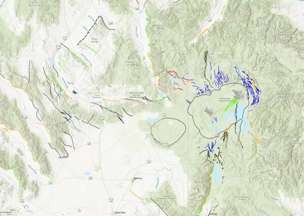
Machine Learning Mapping in the Sierra Nevada Mountains
A new study mapping the bedrock outcrops in California
A new study mapping the bedrock outcrops in California
Significant Earthquakes, Past 30 days
Significant Earthquakes, Past 30 days
5.6
23 km WSW of Callao, Peru
2025-06-15 16:35:31 (UTC)
Pager Alert Level: Yellow
MMI: V (Moderate Shaking)
53.5 km
6.3
16 km NNE of Paratebueno, Colombia
2025-06-08 13:08:06 (UTC)
Pager Alert Level: Yellow
MMI: VIII (Severe Shaking)
9.0 km
6.4
45 km SW of Diego de Almagro, Chile
2025-06-06 17:15:07 (UTC)
Pager Alert Level: Yellow
MMI: VII (Very Strong Shaking)
75.0 km
5.8
8 km SSW of İçmeler, Turkey
2025-06-02 23:17:28 (UTC)
Pager Alert Level: Green
MMI: VI (Strong Shaking)
72.3 km
Earthquake Hazards Program
The USGS monitors and reports on earthquakes, assesses earthquake impacts and hazards, and conducts targeted research on the causes and effects of earthquakes. We undertake these activities as part of the larger National Earthquake Hazards Reduction Program (NEHRP), a four-agency partnership established by Congress.
Latest Earthquakes
Latest Earthquakes

Latest earthquakes map and list (past 24 hours, M2.5+) from the ANSS (Advanced National Seismic System).
Search Earthquake Catalog
Search Earthquake Catalog

Find an earthquake or a list of earthquakes by time window, magnitude, area, and more, and choose the output format - map and list, CVS, and others.
News
USGS Announces Recipients of Recent Earthquake Research Grants and Cooperative Agreements
USGS Announces Recipients of Recent Earthquake Research Grants and Cooperative Agreements
M7.7 Mandalay, Burma (Myanmar) Earthquake
M7.7 Mandalay, Burma (Myanmar) Earthquake
USGS Seeks Earthquake Hazards Research Proposals
USGS Seeks Earthquake Hazards Research Proposals
Publications
High-pass corner frequency selection and review tool for use in ground-motion processing High-pass corner frequency selection and review tool for use in ground-motion processing
Raw seismological waveform data contain noise from the instrument’s surroundings and the instrument itself that can dominate recordings at low and high frequencies. To use these data in ground‐motion modeling, the effects of noise on the signals must be reduced and the signals’ usable frequency range identified. We present automated procedures to efficiently reduce low‐frequency noise...
An empirical Green’s function approach for isolating directivity effects in earthquake ground-motion amplitudes An empirical Green’s function approach for isolating directivity effects in earthquake ground-motion amplitudes
In this study, we apply an empirical Green’s function (eGf) method within a ground‐motion modeling framework to mitigate trade‐offs between source, path, and site effects. Many physical processes contribute to spatial variations in observed ground motions, including earthquake radiation pattern, directivity, variable path attenuation, and site effects. Current nonergodic ground‐motion...
Bayesian ETAS modeling for the Pacific Northwest: Uncovering effects of tectonic regimes, regional differences, and swarms on aftershock parameters Bayesian ETAS modeling for the Pacific Northwest: Uncovering effects of tectonic regimes, regional differences, and swarms on aftershock parameters
The Pacific Northwest (PNW) of North America has high seismic hazard due to numerous earthquake sources under populated areas. It hosts several tectonic regimes and subregional seismic zones that are hypothesized to have different patterns of earthquake and aftershock occurrence. It is also predisposed to earthquake swarms, which can complicate the statistical modeling of these patterns...
Science

2025 Puerto Rico and U.S. Virgin Islands Long-term National Seismic Hazard Model
We anticipate the final 2025 PRVI NSHM to be available by December 21st 2025.
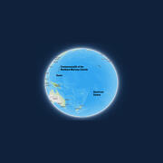
Public kickoff webinar: 2026 National Seismic Hazard Models for Guam & Northern Mariana Islands and American Samoa
Monday, February 24, 2025 2:00-4:00 pm MST A Virtual Meeting

M 6.9 October 17, 1989 Loma Prieta Earthquake
The 1989 Loma Prieta earthquake ended decades of tranquility in the San Francisco Bay region. It was a wakeup call to prepare for the potentially even more devastating shocks that are inevitable in the future. Since 1989, the work of the U.S. Geological Survey and other organizations has improved understanding of the seismic threat in the Bay region, promoted awareness of earthquake hazards, and...


 Earthquake")