Search Earthquake Catalog
online search by time window, area, magnitude, and more
online search by time window, area, magnitude, and more
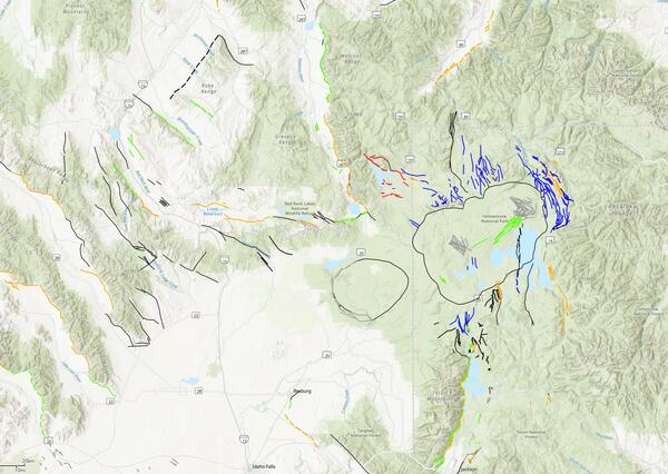
Machine Learning Mapping in the Sierra Nevada Mountains
A new study mapping the bedrock outcrops in California
A new study mapping the bedrock outcrops in California
Significant Earthquakes, Past 30 days
Significant Earthquakes, Past 30 days
6.2
21 km SE of Marmara Ereğlisi, Turkey
2025-04-23 09:49:11 (UTC)
Pager Alert Level: Orange
MMI: VIII (Severe Shaking)
10.0 km
4.5
26.1 km
5.1
10.0 km
4.3
20 km W of Beluga, Alaska
2025-04-19 07:18:56 (UTC)
Pager Alert Level: Green
MMI: IV (Light Shaking)
83.3 km
6.6
10.0 km
4.0
4 km SSE of Julian, CA
2025-04-14 18:23:42 (UTC)
Pager Alert Level: Gray (Null)
MMI: IV (Light Shaking)
12.6 km
5.2
14.3 km
6.5
south of the Fiji Islands
2025-04-13 20:03:23 (UTC)
Pager Alert Level: Green
MMI: III (Weak Shaking)
271.0 km
5.8
36 km E of Rasht, Tajikistan
2025-04-13 04:24:01 (UTC)
Pager Alert Level: Yellow
MMI: VIII (Severe Shaking)
8.0 km
5.5
34 km NNE of Meiktila, Burma (Myanmar)
2025-04-13 02:24:57 (UTC)
Pager Alert Level: Orange
MMI: VIII (Severe Shaking)
7.7 km
6.9
181 km ESE of Kimbe, Papua New Guinea
2025-04-04 20:04:38 (UTC)
Pager Alert Level: Green
MMI: VI (Strong Shaking)
10.0 km
6.9
10.0 km
6.2
54 km ENE of Nishinoomote, Japan
2025-04-02 14:03:57 (UTC)
Pager Alert Level: Green
MMI: V (Moderate Shaking)
26.0 km
6.3
10.0 km
6.2
21 km SE of Marmara Ereğlisi, Turkey
2025-04-23 09:49:11 (UTC)
Pager Alert Level: Orange
MMI: VIII (Severe Shaking)
10.0 km
4.5
26.1 km
5.1
10.0 km
4.3
20 km W of Beluga, Alaska
2025-04-19 07:18:56 (UTC)
Pager Alert Level: Green
MMI: IV (Light Shaking)
83.3 km
6.6
10.0 km
4.0
4 km SSE of Julian, CA
2025-04-14 18:23:42 (UTC)
Pager Alert Level: Gray (Null)
MMI: IV (Light Shaking)
12.6 km
5.2
14.3 km
6.5
south of the Fiji Islands
2025-04-13 20:03:23 (UTC)
Pager Alert Level: Green
MMI: III (Weak Shaking)
271.0 km
5.8
36 km E of Rasht, Tajikistan
2025-04-13 04:24:01 (UTC)
Pager Alert Level: Yellow
MMI: VIII (Severe Shaking)
8.0 km
5.5
34 km NNE of Meiktila, Burma (Myanmar)
2025-04-13 02:24:57 (UTC)
Pager Alert Level: Orange
MMI: VIII (Severe Shaking)
7.7 km
6.9
181 km ESE of Kimbe, Papua New Guinea
2025-04-04 20:04:38 (UTC)
Pager Alert Level: Green
MMI: VI (Strong Shaking)
10.0 km
6.9
10.0 km
6.2
54 km ENE of Nishinoomote, Japan
2025-04-02 14:03:57 (UTC)
Pager Alert Level: Green
MMI: V (Moderate Shaking)
26.0 km
6.3
10.0 km
Earthquake Hazards Program
The USGS monitors and reports on earthquakes, assesses earthquake impacts and hazards, and conducts targeted research on the causes and effects of earthquakes. We undertake these activities as part of the larger National Earthquake Hazards Reduction Program (NEHRP), a four-agency partnership established by Congress.
Latest Earthquakes
Latest Earthquakes

Latest earthquakes map and list (past 24 hours, M2.5+) from the ANSS (Advanced National Seismic System).
Search Earthquake Catalog
Search Earthquake Catalog

Find an earthquake or a list of earthquakes by time window, magnitude, area, and more, and choose the output format - map and list, CVS, and others.
News
M7.7 Mandalay, Burma (Myanmar) Earthquake
M7.7 Mandalay, Burma (Myanmar) Earthquake
USGS Seeks Earthquake Hazards Research Proposals
USGS Seeks Earthquake Hazards Research Proposals
The Night the Earth Shook
The Night the Earth Shook
Publications
Comparative properties of saponitic fault gouge and serpentinite muds cored from mud volcanoes of the Mariana subduction zone
We obtained 12 core samples for physical and chemical characterization from three serpentinite mud volcanoes (Yinazao, Asùt Tesoru, and Fantangisña) located on the forearc of the Mariana subduction system, that were drilled during International Ocean Discovery Program Expedition 366. Two samples from the Fantangisña mud volcano are interpreted to be clay-rich fault gouges derived from...
The GorDAS Distributed Acoustic Sensing experiment above the Cascadia locked zone and subducted Gorda Slab
The southernmost portion of the Cascadia Subduction zone in Northern California produces high rates of moderate and large earthquakes owing to subduction of the Gorda slab and deformation associated with the Mendocino Triple Junction. Distributed Acoustic Sensing (DAS) is rapidly advancing as a method for detecting earthquakes and imaging crustal structure. We have begun a long-term DAS...
Phase 1 technical implementation plan for the expansion of the ShakeAlert earthquake early warning system to Alaska
Executive SummaryThe conference report accompanying the fiscal year (FY) 2022 Consolidated Appropriations Act (Public Law 117–103) for the U.S. Department of the Interior and related agencies directed the U.S. Geological Survey (USGS) to “work with the State of Alaska to develop an implementation plan to be completed within two years in order to put ShakeAlert/Earthquake Early Warning in...
Science

2025 Puerto Rico and U.S. Virgin Islands Long-term National Seismic Hazard Model
We anticipate the final 2025 PRVI NSHM to be available by December 21st 2025.
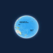
Public kickoff webinar: 2026 National Seismic Hazard Models for Guam & Northern Mariana Islands and American Samoa
Monday, February 24, 2025 2:00-4:00 pm MST A Virtual Meeting

M 6.9 October 17, 1989 Loma Prieta Earthquake
The 1989 Loma Prieta earthquake ended decades of tranquility in the San Francisco Bay region. It was a wakeup call to prepare for the potentially even more devastating shocks that are inevitable in the future. Since 1989, the work of the U.S. Geological Survey and other organizations has improved understanding of the seismic threat in the Bay region, promoted awareness of earthquake hazards, and...


 Earthquake")